Deep Tech & Software for Space Industry
Emerging technologies are an essential part of the space technology sector. It can improve space exploration and help us monitor Earth’s surface for inspecting and assessing the natural resources. Space technologies supported by other deep tech branches like artificial intelligence and machine learning can help enhance commercial space activity and research fields.

How can space technology contribute to the progress of emerging technologies?
International Space Station and the European Space Agency
There are several ways space technology can contribute to the progress of emerging technologies and how those technologies can benefit the space industry and research. For example, the International Space Station, in the past few decades, made some exciting discoveries thanks to the technologies at its disposal:Exploration of the fifth state of matter
- Identification of unknown microbes in space and sending them back to Earth
- Drug development with the use of protein crystals
- Collection of more than 100 billion cosmic particles
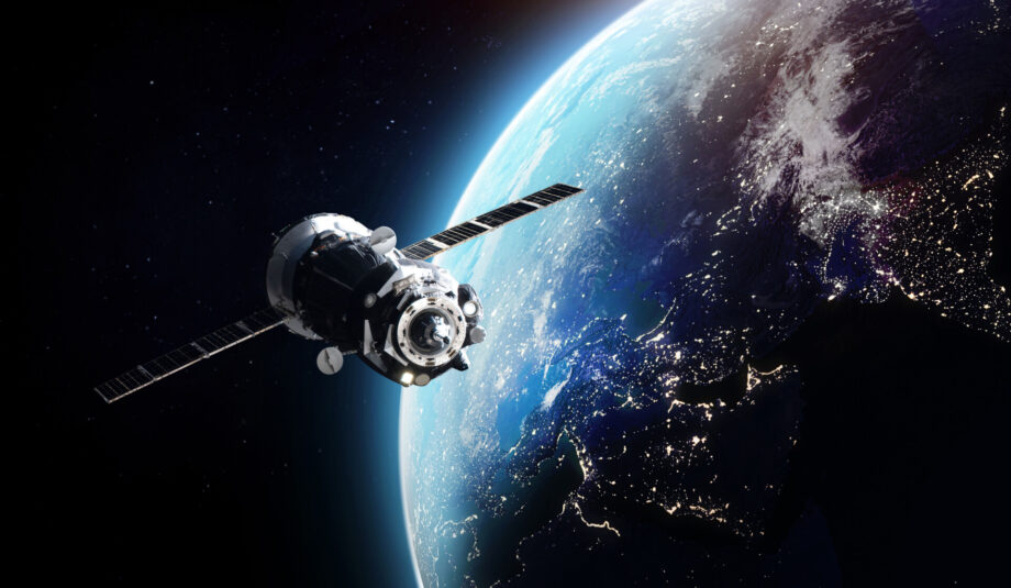
- Satellite imagery of the Earth’s surface gives it a new perspective
- Researching human life in space
The European Space Agency meanwhile is working on a self-destructing robot that could help neutralise potentially dangerous space debris. The advancements in space science can also contribute to the overall capabilities in Earth observation, areal photography and climate change occurrences and progress. But what technologies will be the most useful in space?
Satellite data collection in space exploration and Earth’s surface observation.
Remote sensing gathers information about areas, objects or phenomena from a distance – usually an aircraft or satellites. It involves sensing technology to detect and classify objects on Earth’s surface, atmosphere, and oceans.

Satellite onboarding data processing.
The topic revolves around data processing on remote edge devices. Namely, challenges related to such low-resource computing with the use of NVIDIA’s Jetson platform will be presented. A brief introduction to machine learning algorithms, followed by an in-depth explanation of performance optimization methods for their use with limited resources in a harsh environment.
Key points:
- types of data generated by satellites (broadly)
- edge computational devices suitable for space projects
- methods for neural network optimizations
Satellite imagery and remote sensing.

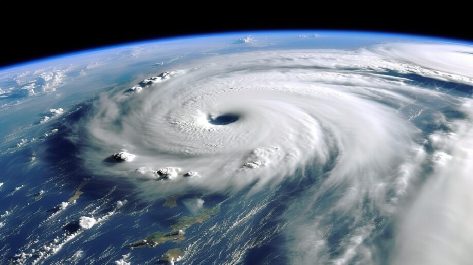
Detection of natural calamities: satellite data collection can help detect natural disasters like forest fires or volcanic eruptions. The sensors can also examine the nearby area to help assess the scale of the event and dispatch proper assistance where required.
Systematic data collection: remote sensing allows data to be collected over different scales and resolutions. Artificial intelligence and machine learning help perform the scans systematically and quickly analyse collected data.
Unobstructiveness: remote sensors don’t interfere with objects and areas of interest, while passive sensors record the electromagnetic spectrum of the site.
The capability of covering a large area: remote sensing imagery helps to collect data from around the globe effectively. It also can significantly contribute to mapping hard-to-access areas like valleys and disaster zones.
Repetitive coverage: it allows monitoring dynamic conditions like vegetation, architecture, agriculture or extreme weather conditions.
Multipurpose imaging: digital data collected once can serve different purposes and be analysed from different angles and physical characteristics.
“With initiatives like the Copernicus program (open-sourcing the data from satellites), the availability of space-derived products will increase. I think the democratisation of space data should gradually increase, and the commercial potential will follow. Earth Observation methods are currently in full bloom…

… (same for computer vision algorithms on, for example, rovers). Other methods, i.e. for space mission planning, data instruments scheduling and onboard processing on satellites, are yet to be improved in the upcoming years.”
-Michał Affek, Embedded ML Researcher at DAC.digital
Real-time satellite imaging and the problem of transmitting large amounts of data.
Real-time imaging still needs more data capacity and transfer speeds. At times, the span between the data capture and delivery can be long, depending on the resolution of the captured image, which is much more complex than a photograph.
Due to the limited number of active satellites around the Earth, not all of them are within the reach of the downlink station. In consequence, the satellites only capture the data at some time. Each day, the satellites capture vast quantities of data. This data is then stored until the satellite reaches the downlink station, where it can be transferred to its destination.
Geosynchronous equatorial orbit (GEO) and Low Earth orbit (LEO)
These are two main types of Earth observation satellites. GEO satellites orbit at the same speed as the Earth’s rotations, staying at the same spot in relation to the planet at all times. They are mainly used for weather observation and are typically thought of as having shallow spatial resolution. LEO ones cover the globe one strip at a time by travelling from pole to pole. Most polar-orbiting satellites return to the same pole after 90 minutes. The following imaging strip will cover a different part of Earth as the Earth rotates under the satellite.

How can edge computing contribute to the space industry?
Edge computing is one of the technologies that can contribute to faster and more efficient data collection and transfer. It makes a solution allowing the processing and filtering of the collected data closer to the source in space before sending it to the ground station to ensure that the downloaded data would be relevant for the end user. It could reduce the negative impact of the current limitations. Edge computing can answer problems with data volume and communication speed.
What is the prospect of edge computing in space technology?
Onboard manned and crewless vehicles, the hardware-accelerated edge computing, machine learning-based algorithms allow the system to:
Enhance metadata with geolocalisation information and AI-based processing results
Ensure that UAVs and aeroplanes are equipped with dedicated software, enabling users to access the imaging data on the vehicles’ hard drives from the air data to download selected prioritised data sets in real-time
Download the data via the GIS (Geographical Information System) engine, analyse the imaging and visualise the data. Which then quickly enables to use of the extracted data. Thanks to the AI application, the results are presented as a knowledge base, evaluation and recommended actions
Future development possibilities for the AI-enabled GIS engines.
GIS engines. Initially, AI GIS could automatically extract geographical data, including remote sensing or video imaging. However, with the current development of AI capabilities, it’s possible to implement technologies like voice recognition or language processing.
AI GIS engines are still in the domain of narrow artificial intelligence and can make a promising development direction towards general artificial intelligence. In turn, it can enhance EO operations and GIS development possibilities to deliver geographical information in a close-to-real-time fashion.
DAC.digital and the science of technology in the satellite data collection.
Our Embedded ML Researcher is building his PhD research with us regarding prioritising satellite-collected data based on potentially interesting and critical areas. Satellites usually don’t have enough data storage space and unlimited power access, so they use miniaturised processors. They display lower performance results than computing clusters located in the computing centres on Earth that analyse the data (including images) collected by the satellites.
The project aims to reduce the communication load between the satellite and the ground station for significantly faster data transfer. It would be especially important in natural occurrences such as widespread fires or dangerous seismic activities that should be transmitted near real-time speed and immediately to the end user (e.g. to the notification system). One of the ways to help resolve this issue is to implement algorithms and a system to prioritise the data collected on a satellite. The challenge of this idea lies in the necessity of such an algorithm or system to fit on the satellite’s miniaturised processor.
The tools Michał uses to build the solution involve algorithm optimisation techniques (such as neural networks). However, he’s also working on his unique tools and methods to make decisions regarding determining the importance of an image and assigning it a correct priority. There’s also room for new, smaller algorithms (due to limited resources) oriented on prioritising the input data and assigning priority to an image.
Optimising neural networks involves methods such as pruning, quantisation etc. The prioritising system must be able to launch the optimised algorithm and plan the order in which the data should be sent to Earth. Currently, such priorities are assigned manually (for example, low or zero for images made during calibration issues), and the priorities are assigned by the ground station based on metadata. And so far, there are no more complex solutions than that, which Michał is aspiring to change with his solutions.
Bring your space project to life with our experts.
Do you have an idea to bring space technology to the next level? Let’s discuss it and figure out how to make it happen together. Don’t hesitate to reach out!
Estimate your project.


